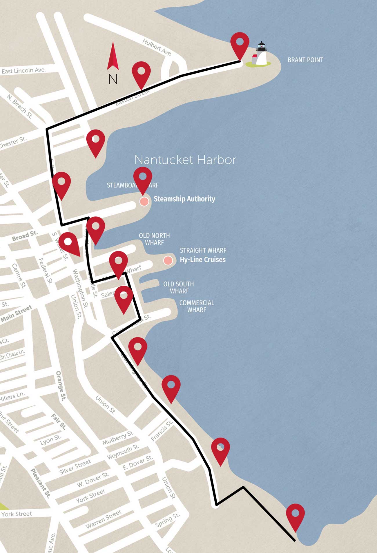
Coastal Resilience Walk
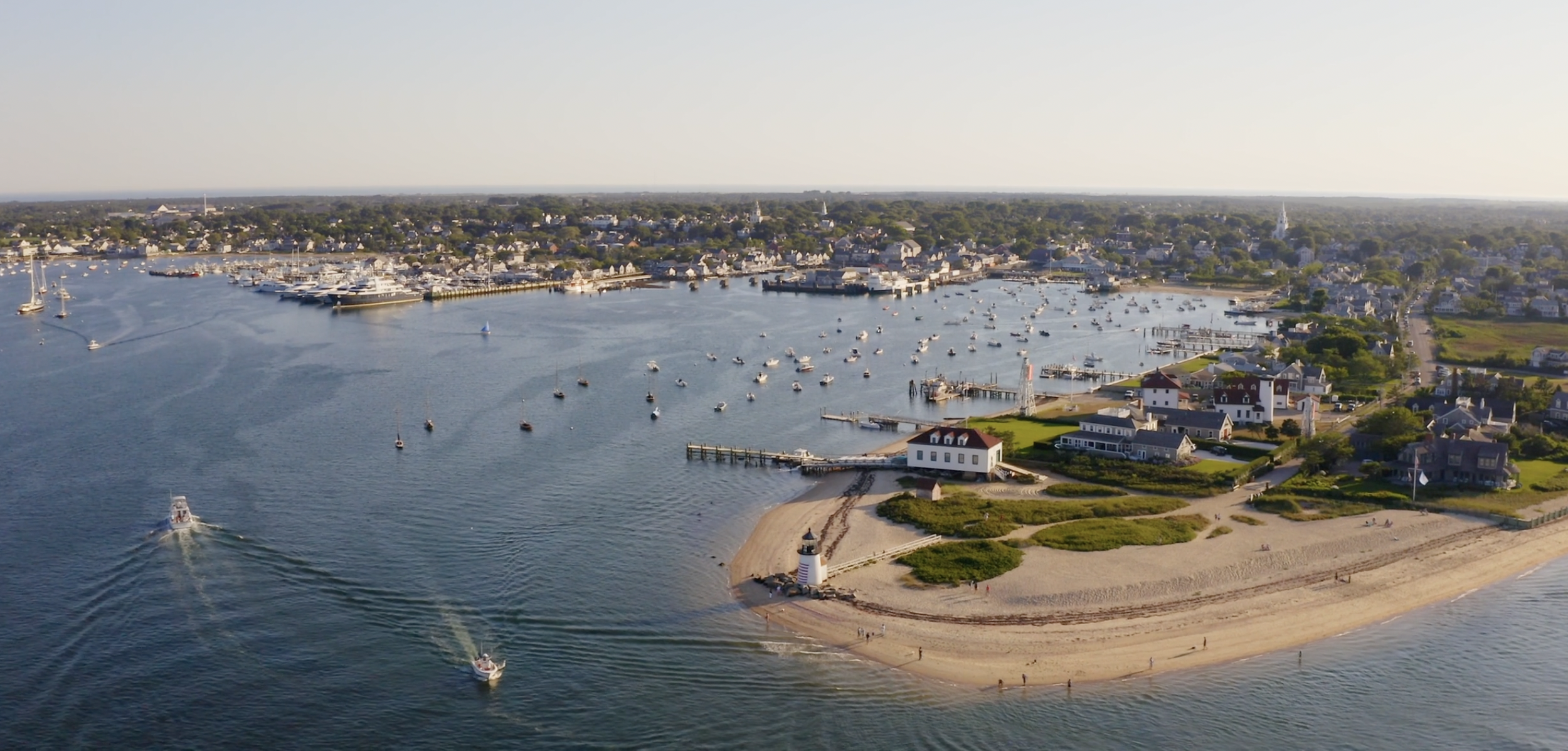
Image courtesy of Envision Resilience
This 1.5 mile tour from Brant Point to the Creeks explores Nantucket's past, present and future strategies for living with challenging, changing coastal conditions. Nantucket's history is one of coastal resilience: as early as 12,000 years ago, the first indigenous Wampanoag settlers were semi-nomadic based on seasonal weather and food availability; the first European town of Sherburne's harbor silted over and the majority of its citizens, businesses and houses moved to the Town of Nantucket's current location; floating drydocks called "camels" were invented to bring heavy whale-oil laden vessels over the sandbar at the entrance to Nantucket Harbor; and, finally, a bustling summer resort economy grew as the combined devastations of the Great Fires, the Civil War, the Gold Rush and the discovery of oil otherwise ravaged Nantucket's once prosperous whaling and fishing economies. All the while, erosion and accretion, severe storms, shipwrecks, flooding and other coastal risks challenged Nantucketers.
Climate change and rising seas will worsen and exacerbate these existing coastal risks, but Nantucket has a history of navigating challenging coastal landscapes, an ambitious and forward thinking plan of action (Coastal Resilience Plan) and some of the most proactive and well-connected communities and non-profits in the world. As we look backward to inspire a better future, we learn that resilience on Nantucket goes well beyond risk-reduction and security improvements to include numerous opportunities that embody the island’s unique history and characteristics, support healthy coastal and ecological resources, and bolster our thriving communities.
Click a Map Pin or Location below to begin: